This summer I set upon the goal of trying to hike all the parts of the Snow Country Trail, the 280 mile loop that connects the three prefectures of Gunma, Niigata and Nagano via hiking trail and access roads. As I have a fulltime job in the summer, I have been trying to tackle this monumental task one section at a time on my days off. With this section, I started off optimistically, hoping that the clouds would part as I made my way to the summit. Although I reached the summit amidst a cold white haze, I did manage to get some great views on both the way up from the Naeba valley and back down into the Saragakyo valley side.
Neaba Valley to Saragakyo Valley
Snow Country trail section hiking

C. Rioによって
コミュニティライター
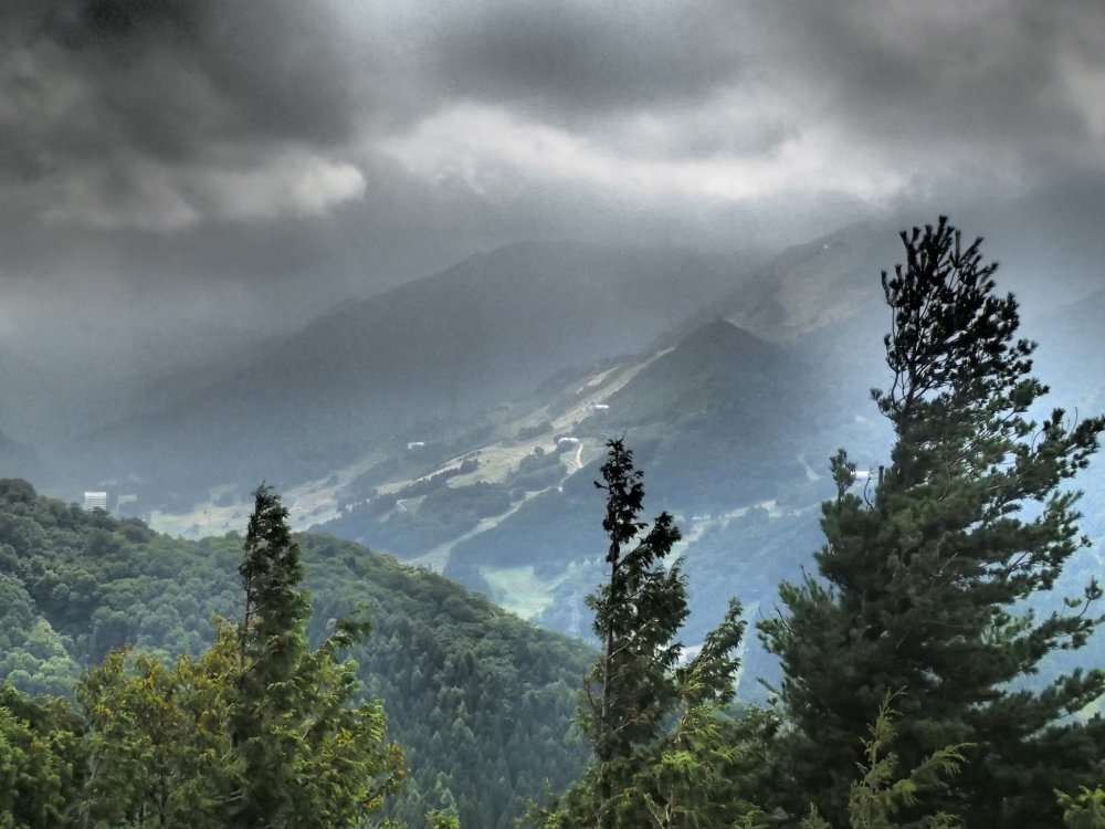
Clouds beginning to move in (著作権:Matthew Shewchuk)
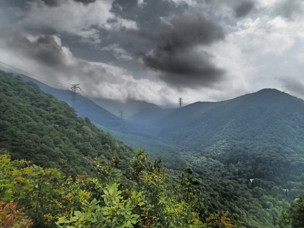
Looing up toward the peak (著作権:Matthew Shewchuk)

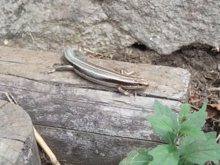
Not alone, after all (著作権:Matthew Shewchuk)

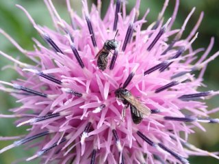
Busy bees (著作権:Matthew Shewchuk)

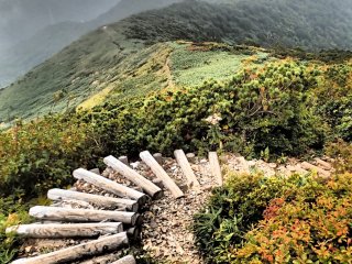
Trail winding its way up to the peak (著作権:Matthew Shewchuk)

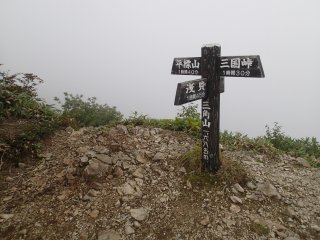
Trail is well marked and easy to follow despite not being able to read Kanji (著作権:Matthew Shewchuk)

Shrine at the pass (著作権:Matthew Shewchuk)

Up on the ridge (著作権:Matthew Shewchuk)
会話に参加する
0さんは全体にコメントしています
旅行を予約しよう
近くのホテルを探す
Explore some of the best nearby hotels and deals for the perfect place to stay in Japan.


